Ontario

Kamistokia Hill Fire Tower

Kamistokia Hill Fire Tower

Updated November 14, 2022 - Published November 14, 2022

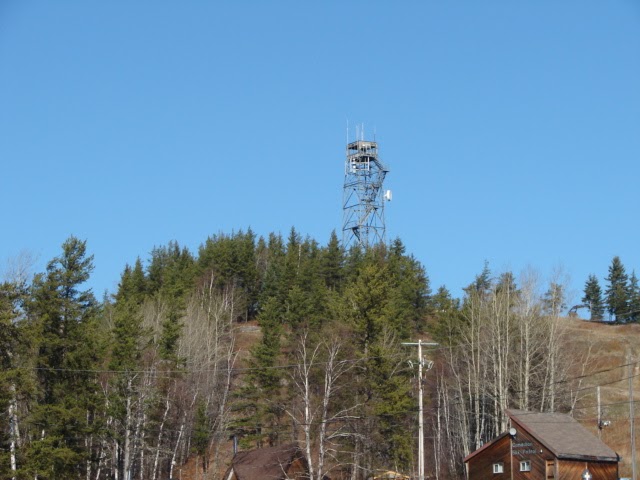
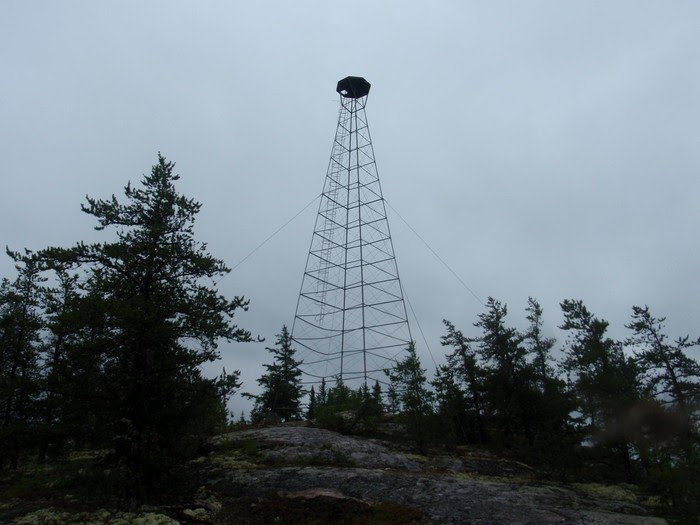
The hill where the radar site was built is now a ski area known as the Kamiskotia Snow Resort. The fire lookout tower at the top looks suspiciously like a combined-use radar tower. It looks virtually identical to the tower from Atikokan, now at Ft. Frances (and very similar to the towers at Topsfield and Bridgewater, ME, and at Marblehead, OH).

Access notes

  • Road

References

Contributors

Comments

Kamistokia Hill Fire Tower

Coordinates

  • 48.53654, -81.54153

Province

Ontario

Build date

1960

Status

Active

Elevation

360 metres

Tower type

Steel Tower

Tower height

24

Operator

Non applicable

Date added

November 14, 2022

Related lookouts

Timmins, ON

0km

Timmins, ON

19.234km

North Cochrane District, ON

75.916km

Copyright © 2024, Firelookout.ca. All rights reserved. Contributed material may be separately copyrighted.

Last updated 2022-11-14 01:59:54