Updated November 25, 2022 - Published November 25, 2022
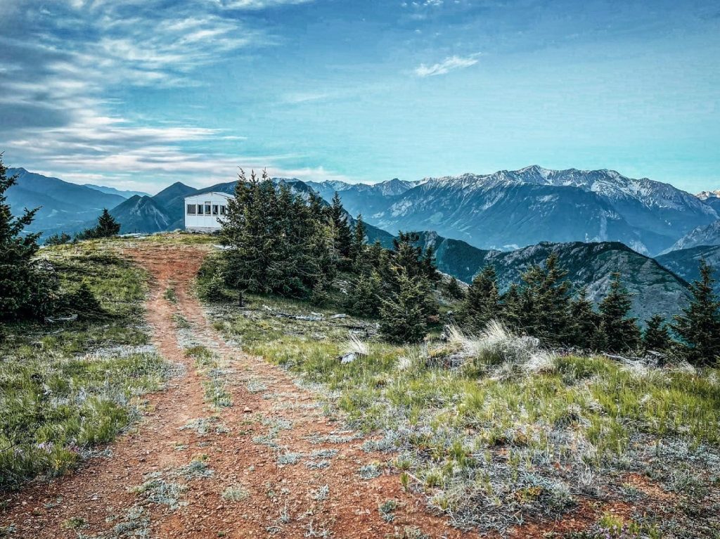
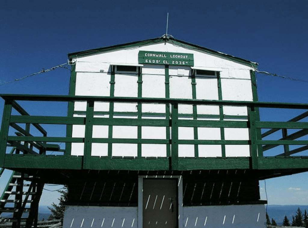
The hike to the summit of Camelsfoot Peak (sometimes called Camelshoof) offers amazing panoramic views of the Fraser Canyon, Clear Range, Fountain Ridge, Mission Ridge, and Mount Brew. To get to the trailhead you will need to drive the rugged West Pavilion road. Another trail exists below the stretch of road where you park beside a cattle gate. This trail is the route First Nation guides used to lead Simon Fraser during his exploration of the Fraser River. You can see your trailhead from where you park, across the road. The trail begins as an old road that leads to an old TV and radio transmission site – no structures still exist. When you reach the summit there is an old abandoned forestry fire lookout. Across the Fraser Canyon is the First Nation Reserve and community called Fountain (Xaxli’p). The name ‘Fountain’ refers to the churning white water rapids in a dramatic bend in the Fraser Canyon seen below. Rapids were sometimes referred to as ‘fountains’ by some early European explorers.
Camelsfoot Peak is situated at the southern tip of the Camelsfoot Range which spans 90 km at its longest point. The Camelsfoot Range lies between the Fraser and Yalakom Faults. They are similar in composition to the Marble and Clear Ranges, but they differ greatly from the Shulaps Range which is immediately west, across the Yalakom river.
The reference to camels in the name of this peak and range bears testament to an interesting experiment by a local Lillooet entrepreneur, John Calbreath, in 1862. Camels are able to carry much more weight than mules, 800 lbs versus 300 lbs. This was very desirable for transporting goods to support the gold prospecting efforts along the Cariboo road. Camels also had a reputation to require less food and water than mules or horses and could travel over double the Rails & Trails distance in one day. Twenty-three camels were bought in San Francisco for $300 apiece, quite an investment in those days. Things did not go as planned as explained by Leonard W. Meyers in Great Stories from the Canadian Frontier:
“The camels were not only temperamental but also vicious. And these negative characteristics finally outweighed their good points. They developed a bad habit of attacking anything they did not like. And when one of these desert creatures was driven down the gangplank, it passed a prospector’s mule and promptly bit and kicked it severely. Disturbingly, the strange animals were completely impartial as to what or whom they attacked – and this ranged all the way from oxen to mules and horses to men.”
Camels had other physical problems, their scent frightened other pack animals and their feet were not tough enough for the rugged Fraser Canyon terrain. The other packers, who used more ‘traditional’ means of moving supplies, did not like the camels at all. They had a petition circulated and the camels were banned from the Cariboo trail. The camels were set loose and succumbed to the difficult terrain and many predators. The last one is commonly believed to have died in 1905 in the Okanagan.