Ontario

Mistinikon Lake Fire Tower

Mistinikon Lake Fire Tower

Updated November 11, 2022 - Published November 11, 2022

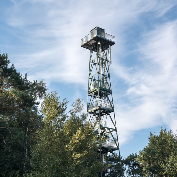
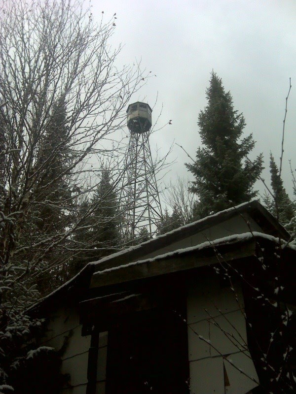
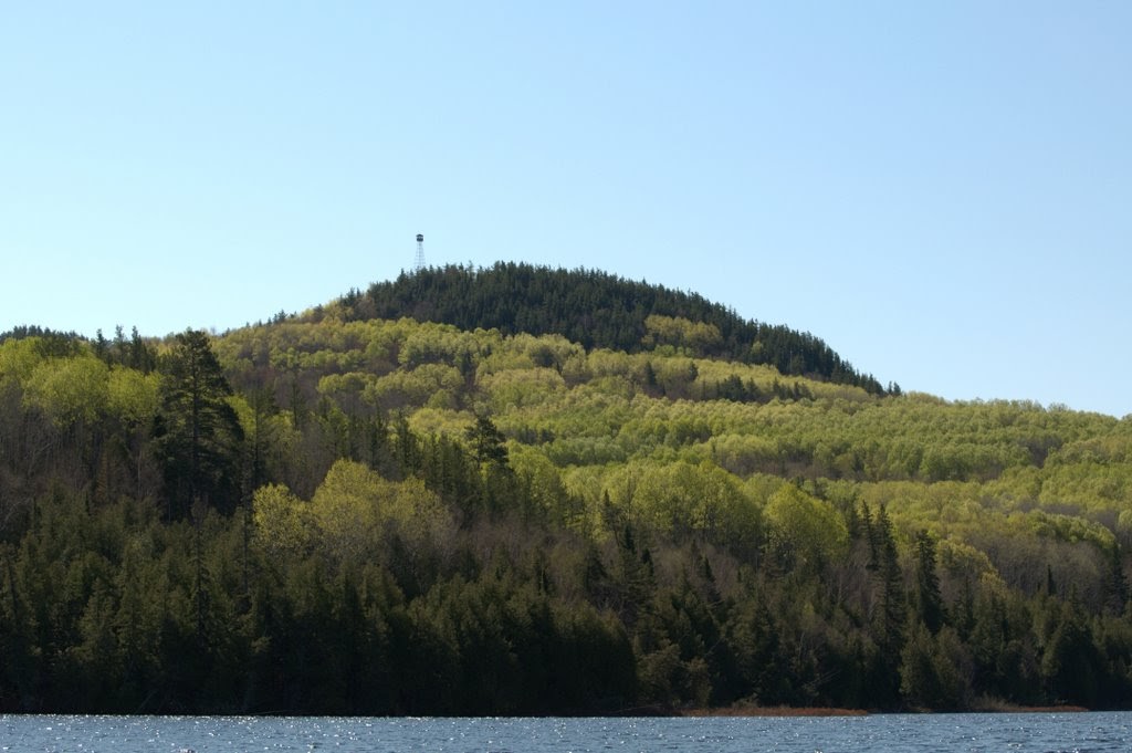
Located west of Matachewan, the Fire Tower Trail can be accessed by canoe or boat from the Mistinkon River near the base of the west channel passing Bell Island. A canoe can be dropped in the water further south where the Asbestos Mine Road bridge crosses the river. This is a 3 km (1.9 mi) return trail with a 110 m (360 ft) elevation gain.

Access notes

  • Backcountry
  • Boat
  • Off-road
  • Off-trail
  • Snow

References

Contributors

Comments

Mistinikon Lake Fire Tower

Coordinates

  • 47.93999, -80.76278

Province

Ontario

Build date

Unknown

Status

Abandoned

Elevation

532 metres

Tower type

Aermotor LL-25

Tower height

30

Operator

Non applicable

Date added

November 11, 2022

Related lookouts

Matachewan, ON P0K

0km

Matachewan, ON P0K

19.028km

Greater Sudbury, ON

39.065km

Matachewan, ON P0K, Canada
100km
Nearby

Copyright © 2024, Firelookout.ca. All rights reserved. Contributed material may be separately copyrighted.

Last updated 2022-11-11 03:17:28